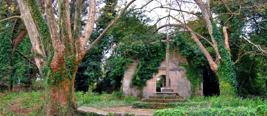
On the walk you can discover traces of the island's past. Known since Roman times, in the Middle Ages the chapel of the Virgen de los Milagros was built on the island. It was later rebuilt in the 18th century outside the village, to stop the crowds of pilgrims who came seeking healing from infecting the local people.
Cortegada lies on the Traslatio Route, also called the Maritime and River Way of St James, as shown by the Punta Corveiro stone cross, which has marked the way for pilgrims since the 1960s. An older stone cross stands in front of the chapel of the Virgen de los Milagros, next to the remains of the pilgrims' hospital built there in the 18th century.
Of the old village on the island, only a few houses survive, restored for Park services. Cortegada's more recent history tells of the island being expropriated when it was bought by public subscription to build a summer residence for King Alfonso XIII. The project never went ahead, as the king visited the island only once, in September 1907. In 1978 his heir, Juan de Borbón, sold it to a property developer planning a luxury resort. But thanks to local groups and environmental organisations, the Xunta de Galicia recovered the island, and in 2002 it became part of the Atlantic Islands National Park.
The island is already known in Roman times.
The chapel of the Virgen de los Milagros is built.
The chapel is rebuilt outside the village and the pilgrims' hospital is built.
King Alfonso XIII visits the island, the only time he ever did.
Juan de Borbón sells it for a luxury resort that is never built.
The Xunta recovers it and it joins the Atlantic Islands National Park.
Cortegada is a tidal island: a piece of land joined to the mainland by a strip of sand or earth, natural or man-made, that appears at low tide and is covered at high tide. It sits in an inlet on the coast near Pontevedra, in Vilagarcía de Arousa, and is part of the Atlantic Islands of Galicia National Park.
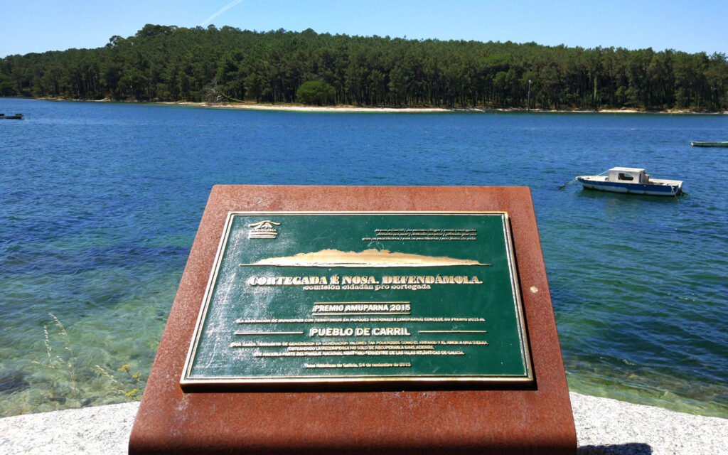
Cortegada is part of an archipelago that includes the Malveiras (or Briñas) islands, Cíes, Ons, Sálvora and the largest and most populated, A Illa de Arousa. Because it lies near the mouth of the River Ulla, Cortegada is sheltered from the wind inside the Ría de Arousa estuary.
Its location and topography give it better conditions than the other islands of the Atlantic Islands National Park for the growth of moisture-loving forests.
The island is joined to the mainland by a sandbar 189 metres wide, covered at high tide and exposed at low tide. A path was built on the sandbank (Camino del Carro), creating the ideal setting for the commercial farming of the famous Carril clams. Tides change quickly here, so walking along the path can be dangerous.
How to get to the islandCortegada has an oceanic climate, with warm summers and mild to cool winters. Warm, moist air from the ocean is pushed upwards by the land and cools to its dew point, so the moisture condenses as rain or fog. The result is a habitat with cool, damp air and soil.
Cortegada has two main sources of fresh water: a seasonal pond and groundwater. The groundwater is quite unusual, since the island is surrounded by salt water.
The island is almost flat, with its highest point at about 6 metres. It covers 54 hectares and is rectangular in shape. There is water everywhere, flowing in little streams or gathering in small ponds and puddles. Drops of water cover plants, rocks, soil, tree trunks, moss and paths, and heavy rain makes the island impassable. Even so, the beauty of the whole place makes Cortegada an almost magical attraction.
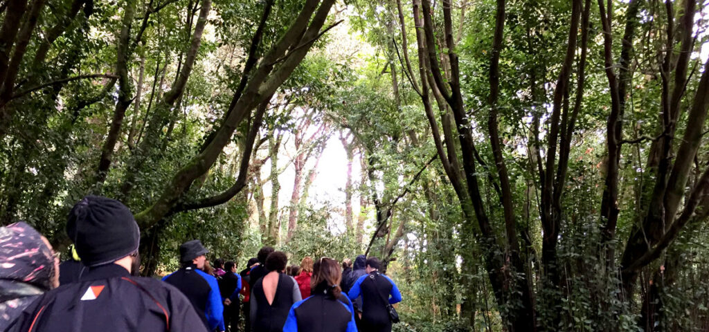
Arrive by boat or kayak and explore the laurel forest, the chapel and the old village with qualified guides.